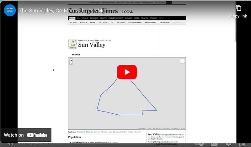
Jose Mier’s Sun Valley Map Tour
Jose Mier is an amateur cartographer, so the use of any Sun Valley, CA map is fun for him. Maps are powerful tools that allow us to navigate the world, understand our surroundings, and make informed decisions. They are not merely static representations of geography but intricate products that blend art and science. In this exploration, we delve into the fascinating process of mapmaking, with a focus on Southern California, a region known for its diverse landscapes and complex geography.
The Essence of Maps
Maps serve a multitude of purposes, from guiding travelers to aiding urban planning and disaster management. But before delving into the specifics of how maps are made, it’s crucial to understand the essential components of a map:
- Geospatial Data: The foundation of any map is geospatial data, which includes information about the Earth’s surface and features. This data is collected through various means, such as satellite imagery, aerial photography, and ground surveys.
- Cartographic Design: Cartography is the art and science of mapmaking. It involves choosing the right projection, colors, symbols, and scales to represent geospatial data accurately and effectively.
- Map Production: This stage involves transforming raw data into a visually coherent map. It includes data processing, design, and often digital or print production.
- Distribution: Maps are distributed through various means, such as printed atlases, digital applications, or interactive websites, making them accessible to a wide audience.
Data Collection in Southern California
The process of making a map begins with data collection. In Southern California, where diverse landscapes include sprawling cities, coastal regions, deserts, and mountain ranges, collecting geospatial data is a complex endeavor. Here are some key methods used in data collection:
- Satellite Imagery: Satellite technology provides high-resolution images of the Earth’s surface. These images capture details about land cover, vegetation, and changes over time. Organizations like NASA and the European Space Agency operate satellites that continuously monitor Southern California and the surrounding areas.
- Aerial Photography: Aerial photography involves capturing images from aircraft or drones. This method is particularly useful for mapping urban areas, infrastructure, and environmental changes. In Southern California, aerial photography is frequently employed for city planning and development.
- Ground Surveys: Surveyors use GPS technology and terrestrial equipment to collect precise data on land features, boundaries, and elevations. This data is essential for creating accurate topographic maps, especially in mountainous regions like the Sierra Nevada.
- Remote Sensing: Remote sensing techniques, including LiDAR (Light Detection and Ranging), use laser technology to measure distances between the sensor and the Earth’s surface. LiDAR data can create highly detailed topographic maps, essential for understanding floodplains, vegetation, and geological features in Southern California’s diverse terrain.
Cartographic Design: The Artistry of Maps
Once the necessary geospatial data is collected, cartographers face the challenging task of transforming it into an understandable and visually appealing map. Cartographic design combines the science of accurate representation with the artistry of visual communication. In the context of Southern California, where geography varies greatly, cartographers must carefully consider design elements:
- Projection: The choice of map projection is crucial, especially in regions like Southern California, which span a wide range of latitudes. Cartographers may use projections like the Universal Transverse Mercator (UTM) for local detail or the Mercator projection for navigational charts.
- Color and Symbols: Cartographers use colors and symbols to represent various features on a map. In Southern California, this might include using different shades of green to depict vegetation, blue for water bodies, and varying line styles to denote roads of different sizes.
- Scale: Southern California encompasses urban sprawl, vast deserts, and high mountain peaks. Cartographers must carefully select the scale of the map to convey relevant detail. For urban areas, a larger scale might be necessary, while broader overviews work well for depicting regional features.
- Legend and Labels: Maps include legends to explain the meaning of symbols and labels to provide context. In Southern California, where multiple languages and communities coexist, multilingual labeling is often essential.
- Terrain Representation: Capturing the diverse terrain of Southern California requires special attention. Relief shading, contour lines, and hillshade techniques are used to depict elevation and landforms accurately.
Map Production: The Technical Process
Once the design elements are established, the map production phase begins. This stage involves converting data into a visually appealing map. In today’s digital age, Geographic Information Systems (GIS) play a crucial role in map production. Here’s an overview of the technical process:
- Data Integration: Different data sources, such as satellite imagery, LiDAR scans, and ground surveys, are integrated into a single dataset. Geographic Information System (GIS) software is commonly used for this purpose.
- Data Processing: Cartographers clean and preprocess the data, removing errors and inconsistencies. This step ensures that the map is accurate and reliable.
- Layering: Data is organized into layers, each representing specific geographic features like roads, rivers, or land cover. These layers can be turned on or off to customize the map’s appearance.
- Styling: Cartographers apply the chosen colors, symbols, and labels to the map based on the cartographic design. This step requires attention to detail to ensure visual clarity.
- Map Output: The final map is generated in various formats, including digital files for online use, printed copies for physical distribution, and interactive maps for web applications.
Distribution: Making Maps Accessible
Maps serve little purpose if they are not accessible to those who need them. The distribution phase ensures that maps reach their intended audience. In Southern California, maps are distributed through various means:
- Printed Maps: Traditional paper maps are still widely used, whether for tourists exploring Los Angeles or hikers navigating the trails of Joshua Tree National Park. These maps are available in visitor centers, bookstores, and online retailers.
- Digital Maps: With the advent of smartphones and GPS devices, digital maps have become indispensable. Apps like Google Maps and GPS navigation systems provide real-time directions and information, enhancing navigation in Southern California’s complex road networks.
- Interactive Maps: Many organizations and government agencies maintain online interactive maps that allow users to explore specific geographic data, such as wildfire risk areas, flood zones, or land use planning.
- GIS Databases: Geographic Information Systems (GIS) databases are used by government agencies, urban planners, and researchers for in-depth analysis and decision-making. These databases store and manage vast amounts of geospatial data.
Challenges in Mapping Southern California
Mapping Southern California presents unique challenges due to its varied geography, diverse communities, and environmental factors. Some of these challenges include:
- Wildfires: The region is prone to wildfires, which can rapidly change the landscape. Accurate mapping of fire-affected areas and their impact on communities is crucial for disaster response and recovery.
- Water Resources: Managing water resources is a critical concern in Southern California. Mapping aquifers, reservoirs, and water distribution networks is essential for sustainable water management.
- Urban Sprawl: The region’s sprawling cities and suburbs require detailed urban planning and transportation mapping to address traffic congestion, housing development, and infrastructure needs.
- Environmental Preservation: Southern California is home to diverse ecosystems, from coastal wetlands to desert flora. Mapping these areas helps guide conservation efforts and protect biodiversity.
- Multilingual Needs: Due to its diverse population, maps in Southern California often need to be multilingual to ensure accessibility to all residents and visitors.
Future Trends in Mapping
As technology advances, the field of cartography continues to evolve. Some future trends in mapping, especially in Southern California, include:
- Real-Time Data: With the proliferation of sensors and satellites, maps will increasingly provide real-time data on traffic, weather, and environmental conditions.
- 3D Mapping: Three-dimensional maps, created using LiDAR and other technologies, will become more common, allowing for enhanced visualization of terrain and urban areas.
- Augmented Reality (AR): AR applications will merge digital maps with the physical world, providing users with context-aware information and navigation.
- Environmental Mapping: As climate change becomes a growing concern, maps will play a pivotal role in tracking and mitigating its effects, including sea-level rise and extreme weather events.
- Community Engagement: Crowdsourced mapping and participatory GIS will involve residents in mapping their own communities, fostering a sense of ownership and local knowledge.
In conclusion, the process of making maps, especially in a diverse and geographically varied region like Southern California, is a complex and dynamic endeavor. It involves collecting geospatial data through satellites, aerial surveys, and ground measurements, followed by the meticulous artistry of cartographic design. The data is then processed and transformed into maps, which are distributed through various mediums to meet the diverse needs of residents, travelers, and professionals. Mapping in Southern California faces unique challenges and opportunities, reflecting the region’s dynamic geography and evolving technological landscape. As technology continues to advance, maps will play an even more critical role in understanding, managing, and navigating the complex and beautiful landscapes of Southern California.